Wadi Drone
wadi.ioPeople
-

Daniel Carelli
-

Martin Slosarik
-

Matthew Karau
-

Ting-Che Lin
-

Vasily Rudchenko
-

kej276
-

zmm228
Show all
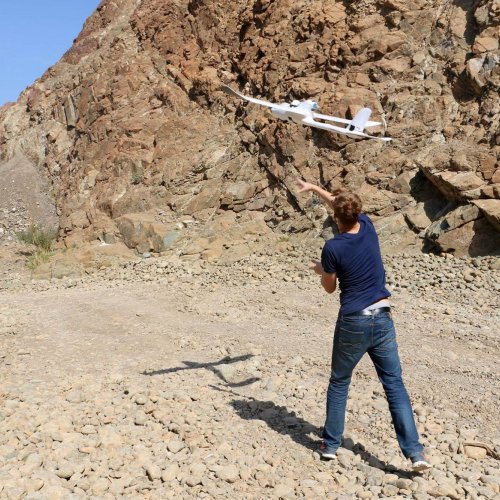
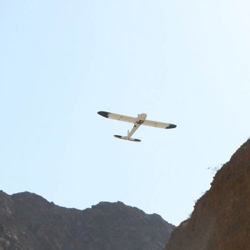
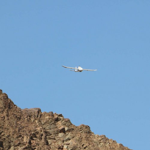
In Wadi Wurayah National Park our drone flies over mountains and through valleys to wirelessly download photographs taken by ground-based camera traps that automatically capture images of wildlife that passes in front of the camera’s motion sensor.
The Wadi Drone serves the conservation efforts of the Emirates Wildlife Society and World Wildlife Fund both by increasing the rate at which photographic data of wildlife can be analyzed by experts, and by reducing the human risk associated with the current method of hiking to retrieve photos from remote camera traps. Wadi Drone further eliminates the need to employ an expensive helicopter to reach camera traps during the summer months when the heat makes it too dangerous to hike.
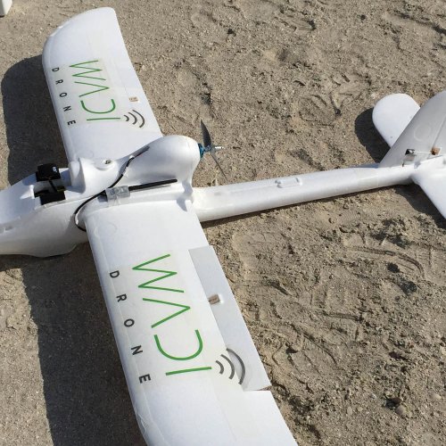
The Wadi Drone collects data in regions where deploying communications infrastructure would spoil the natural heritage or present a human risk to physically retrieving data. The Wadi Drone is a fixed wing airplane with a 2.5-metre wingspan carrying a small communications payload that retrieves information from ground-based scientific measurement devices.
In Wadi Wurayah National Park, the drone flies over mountains and through valleys to wirelessly download photographs taken by ground-based camera traps that automatically capture images of wildlife as they pass in front of the camera’s motion sensor. The Wadi Drone serves the conservation efforts of the Emirates Wildlife Society by both increasing the rate at which photographic data of wildlife can be analyzed by experts, and by reducing the human risk associated with the current method of hiking to retrieve photos from remote camera traps. Wadi Drones further eliminate the need to employ a costly helicopter to reach camera traps during the summer months when high temperatures pose dangerous hiking conditions.
After graduation, members of the team along with fellow NYUAD Graduates launche the company Mission Mule to bring the Wadi Drone technology to market. Members of the Mission Mule founding team have also gone on to found a satellite-based remote data access company called Picogrid. Both companies operate out of Southern California.
Copyright © 2026 original authors. All rights reserved.


